A unique opportunity to compare inspection results offered critical evidence in favor of aerial inspections.
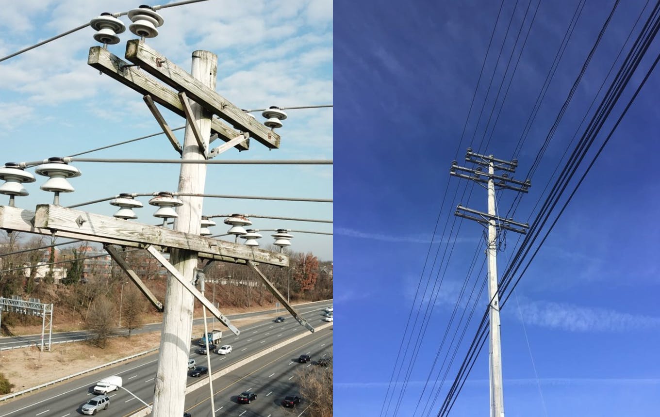
When a cross-arm failure on an overhead distribution line occurred over a highway crossing, we were called in to inspect every other highway crossing with drones. Our results were then compared against a separate ground-based crew who inspected the same assets.
We were able to coordinate and synchronize a variety of Subject Matter Experts (SMEs), pilots, and analysts to complete the mission quickly. We completed a Complete Facility Assessment (CFA) capturing and analyzing 1634 total images, or 7-21 images per asset. 96 poles were inspected by both the aerial and ground teams, and upon analysis, many of the same conditions were found but classified differently.
Drone images are 12-20 megapixels and taken from an ideal vantage point, so more details are displayed and provide a more accurate condition prioritization. The aerial team identified 48% more conditions than the ground team, and 4 high-priority issues were only identified by the aerial team.
The data provided compelling evidence that aerial inspections are more complete and enable better prioritization of defects than ground-based inspections alone.
Ready to Start an Inspection Project?
Request a quote today to begin the process.
KEY RESULTS
![]() 202 Aerial v 136 Ground (48% better)
202 Aerial v 136 Ground (48% better)![]() 4 high priority issues only visible from above
4 high priority issues only visible from above![]() Aerial provided clearer view for more accurate condition detection
Aerial provided clearer view for more accurate condition detection![]() Aerial has potential for downstream benefits
Aerial has potential for downstream benefits